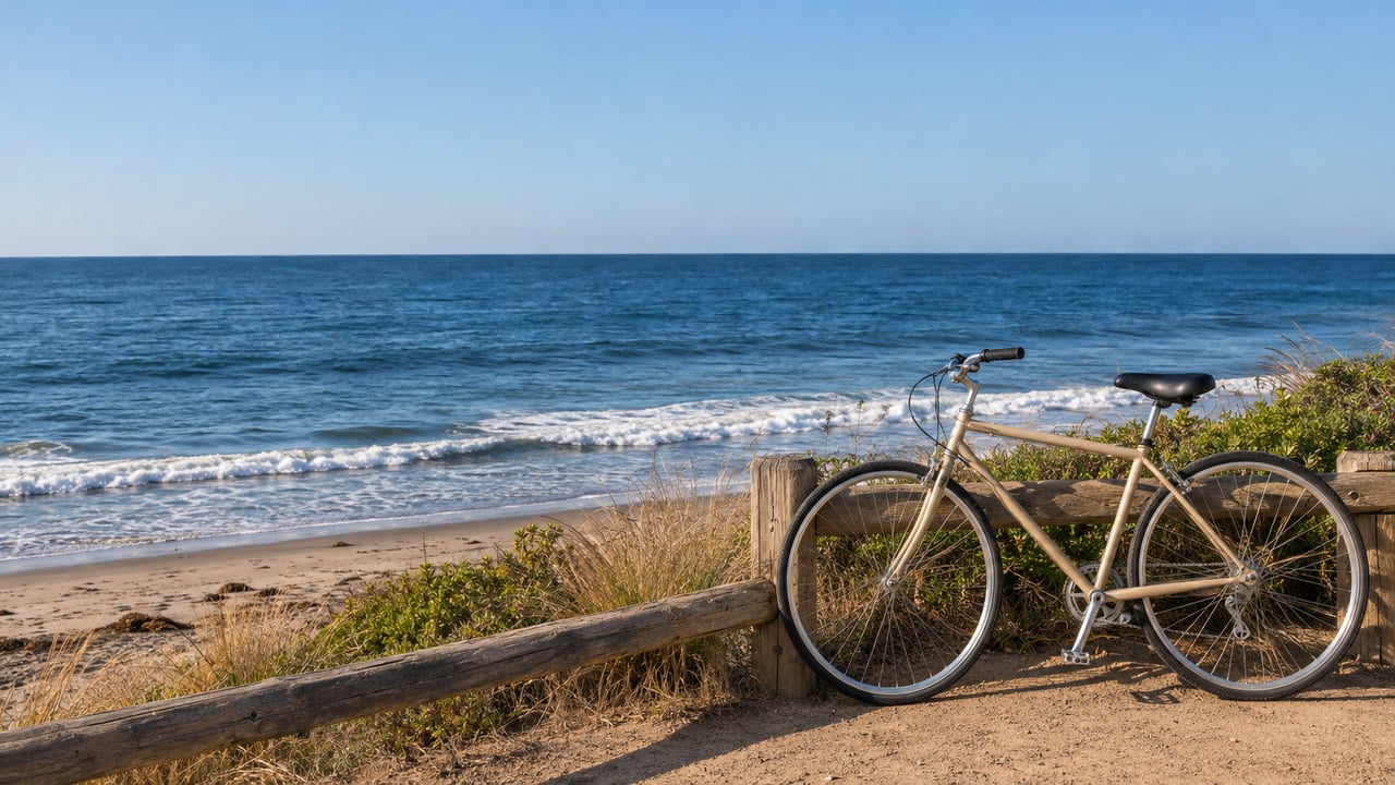
"Visitors are encouraged to park at the nearby Trails area and bicycle to Surf Beach." That line comes from the California State Parks advisory updated October 29, 2026. It is now the official way to reach Old Man's, Dog Patch and The Point for the rest of the fall and winter.
The lower dirt road and the lower parking areas at San Onofre Surf Beach will stay closed through the winter. State Parks plans to reassess them in the spring. The beach itself is still open to surfers, pedestrians and bicyclists. What changed is the last half mile, the part where you used to roll down the hill and park facing the break. For San Clemente surfers, San Onofre has long been the closest drive-up longboard beach, just south of the city line on Camp Pendleton land. This winter it works more like a trailhead.
How It Got Here
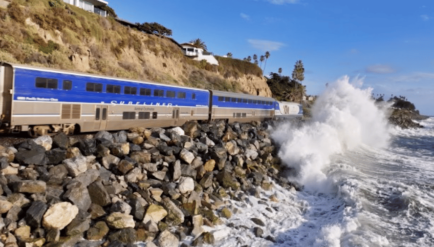
The road first closed on October 7, after a hurricane-generated swell washed out a section near the entrance, according to the Orange County Register. State Parks' first release on October 9 described erosion damage to the road, the lots and the utilities. By October 15, the agency was suggesting rideshare drop-off, or parking near Trail 1 and biking to Surf Beach "where permitted."
The October 29 update turned that stopgap into the plan for the season. State Parks cited high surf, elevated tides, Kelvin wave activity and the potential for more damage from forecasted El Niño conditions. It said the lower lots remain "highly vulnerable." The San Clemente Times ran a photo posted November 1 by @sano_paddle_crew. It shows the crack in the lower lot splitting in two and another chunk of dirt falling away.
Three Ways Down to the Water This Winter
State Parks has named three options. Each one costs something different.
| Option | What State Parks says | What to plan for |
|---|---|---|
| Upper paved lot | Still open to vehicles, but "parking is limited and wait times may be significant" | The only drive-up parking left at Surf Beach |
| Trails area plus a bike | The recommended alternative in the October 29 advisory | Board, wetsuit and gear go on the bike or on your back |
| Rideshare drop-off | Suggested in the October 15 release | No car to change in or store gear |
The October 15 release also told visitors to plan ahead, travel light, and consider other nearby State Parks if vehicle access or parking is essential to their visit. That advice still applies to anyone hauling a 9'6" and a cooler.
The Ride In From Trails
"Trails" is the local name for San Onofre Bluffs. The State Parks infosheet calls the Bluffs "also known as Trails," and several numbered trails there lead down to the beach. Trail 1 is the spot State Parks named in its October 15 release. Surfrider's October 9 update said visitors were already parking at Trails and riding bikes over within days of the washout.
The infosheet says the bike lane runs along Basilone Road and through Bluffs Campground. Bikes share that road with cars and pedestrians. The posted details for the season:
- Surf Beach hours, October 1 to April 14: 6 a.m. to 8 p.m.
- Bluffs hours: 6 a.m. to sunset
- Day-use parking: $15 per vehicle per day, or $20 on holiday and summer weekends
Those Bluffs hours matter on short winter days. A late session at Surf Beach can run past sunset, but the Bluffs lot closes at sunset. Ending a dawn patrol is easy. Ending a sundown session takes more planning than it did when the car was parked on the sand.
You can also skip the car entirely. State Parks puts Surf Beach about three miles south of San Clemente via I-5 and Basilone Road. The California Coastal Trail's description of this section gives a bike route from town. Take Avenida del Presidente, cross to the west side of the highway at Cristianitos Road, then follow Basilone Road and the Bluffs Campground road. For anyone living near Calle Cristianitos or the south end of town, that ride may beat circling the upper lot.
What's Open at the Bottom
The sand is open except within designated construction or unsafe areas, according to State Parks. Restroom 1 has reopened after work on the damaged water line that served it. It sits at the bottom of the hill in the northernmost part of the lower dirt lot, and it is currently the only working restroom at Surf Beach.
State Parks lists three priorities for the closure period: public safety, keeping pedestrian and bicycle access open, and keeping emergency vehicle access for lifeguard, rescue and medical services. That last one explains why the lower road stays closed to the public while lifeguard trucks still need a way down.
The Lot Was Shrinking Before the Swell Arrived
This is a temporary closure on top of a long decline. Beachfront parking at San Onofre has fallen from about 330 spaces in 2017 to 160, as reported by the Orange County Register and the San Clemente Times. Even fewer spaces were available in the months before this fall's closure. The beach had already lost about half its spaces before the lower road closed.
The lot shapes the place. In its November 5 surf column, the San Clemente Times tied San Onofre's identity to parking right at the breaks. It listed "easygoing days, parking lot characters, surf edits and cookouts as people trade off beach watch duty." The same piece put it plainly: "The waves are still there, but the rituals and relationships that have made the beach so special depend, in no small part, on the ability to get there."
The paper put the open question this way: "the question is no longer simply when the road will reopen, but what San Onofre might look like when it does."
The Planning That Shapes What Comes Back
Most of the long-term thinking runs through the San Onofre Shoreline Resilience Project. It is funded by a $1 million grant from the California State Coastal Conservancy, awarded in 2024. Surfrider Foundation leads the project and received the grant. Environmental Science Associates is the coastal engineering and science team, and California State Parks takes part as land manager. Its steering coalition includes the Juaneño Band of Mission Indians Acjachemen Nation, the San Onofre Parks Foundation, the San Onofre Surfing Club and the CSUSM Indigenous Climate and Environmental Collaborative.
The project's first phase runs from July 2025 through December 2026. So the planning phase wraps up during the same winter the lower lots sit closed. The nature-based approaches on its list include:
- Cobble or sediment placement
- Dune and bluff features
- Sand management
- Native planting
One idea has moved ahead of the others in the short term. As of Surfrider's October 9 update, a scaled-down cobble berm pilot at the vulnerable end of the revetment was the community's top pick and technically feasible. It still needed agency approval and quick funding.
The third community assembly took place on Saturday, November 7, at the historic cottage at San Clemente State Park. According to a San Clemente Times preview on October 22 and Surfrider South OC's event page, it was billed to cover three things: a State Parks update on beach status, findings from the shoreline studies, and the engineer's top recommended alternative. The event page also said the longer-term project continues alongside work on short-term access options. State Parks says it is working on those options with Marine Corps Base Camp Pendleton, the landowner, along with community groups and other stakeholders.
Until then, State Parks asks visitors to follow posted closures and check current conditions before heading out. The San Onofre State Beach page is where any change to the lower lots will be posted first.
At Habig Homes, we plan our own mornings around the swell and the tide, and this winter around the walk down from the upper lot too. If you want a hand finding a San Clemente spot where the ride to your favorite break is part of the routine, Start Your Coastal Search with us.